Lobuche Peak Summit And Return By Helicopter
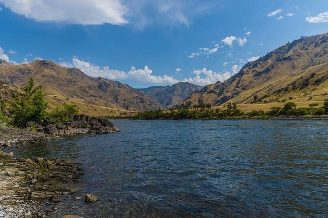
Phakding · Monjo · Thame · Khunde · Sagarmatha National Park · Namche Bazar · Tyangboche · Pheriche · Dingboche · Everest Base Camp · Gorak Shep · Kala Pattar · Lobuche · Dughla · Lukla · Kathmandu
Przegląd wycieczki
A real climbing adventure that will leave you stunned at the beauty of the Himalayan Mountains. The Lobuche Peak Climbing expedition in the spectacular Khumbu region of Nepal has been ranked by Lonely Planet as the sixth-best region in the world to travel. Lobuche East (6,119m/20,075ft) is situated on the Nepalese side of Everest.
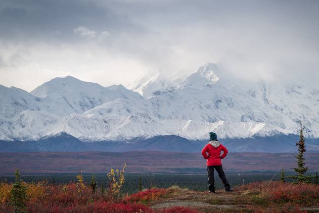
The most ideal time to go trekking and climbing in Nepal is in autumn (September-November) and in spring (March-May) thus avoiding the monsoon season. This is a truly awesome climbing adventure into the Himalayan Mountains that gives you astonishingly stunning views of the nearby mountains and valleys, such as Mt. Nuptse, Mt. Cho Oyu, Mt. Lhotse, Mt. Ama Dablam, Mt. Makalu and Mt. Everest. You will be fascinated as you look skyward at these snow-covered peaks.
Climbers must be physically fit and ideally have some previous climbing experience, or alternatively begin preparation prior to beginning this incredible journey to the summit of Mt. Lobuche East. You will be instructed in all aspects of this climb including the use of climbing equipment such as crampons, ice axes and rope techniques before you attempt the climb to the summit. This is an ideal introduction into Himalayan climbing and may give you the “climbing bug” and be the first of many climbs in this mountainous region of Nepal.
Sherpa Expedition and Trekking have been in this business for more than 40 years (Est.1977) and will take care of all permits, meals and accommodation along the way. Just don’t forget your camera and some comfortable boots!.

Plan dzień po dniu
On arrival at Kathmandu Tribhuvan International Airport you will be met by a representative of Sherpa Expedition & Trekking and taken you to your hotel for a briefing of your climb to Lobuche Peak, including a map of the route taken.